Extract Safely.
Decide Boldly.

AerialBoss automatically extracts and analyse a wide range of feature classes, i.e. buildings, trees, roads from orthomosaics into usable vector outputs for the geospatial workflows at the speed of light.

Built for organisations working with spatial data

ENGINEERING AGRICULTURE INSURANCE MINING GOVERNMENT CLIMATE

Three steps from
orthomosaic to insight.

Drop in your imagery, let custom vision engines detect what matters, and download production-ready geospatial outputs in minutes.

01
Drone capturing aerial imagery for orthomosaic upload
Upload

Upload orthomosaic

Bring your drone, satellite, or aerial survey tiles — GeoTIFF, orthophotos, and mosaics — straight into the platform.

02
Computer vision engine analysing aerial imagery
Analyse

Custom Computer Vision Engines

Purpose-built models detect buildings, roads, trees, and more — tuned to your terrain, scale, and feature classes.

03
Geospatial map outputs including shapefiles and GeoJSON
Export

Outputs you can ship

Download shapefiles, GeoJSON, KML, and other vector formats — clean, georeferenced, and ready for QGIS, ArcGIS, or your stack.

.shp GeoJSON KML

Intelligence for
the physical world.

AerialBoss helps organisations understand, measure and monitor physical environments using aerial imagery and geospatial AI.

Aerial view of urban infrastructure
01 INFRASTRUCTURE

Infrastructure

Monitor buildings, roads, construction sites and infrastructure at scale.

Aerial view of agricultural fields
02 AGRICULTURE

Agriculture

Analyze farms, vegetation and agricultural environments from above.

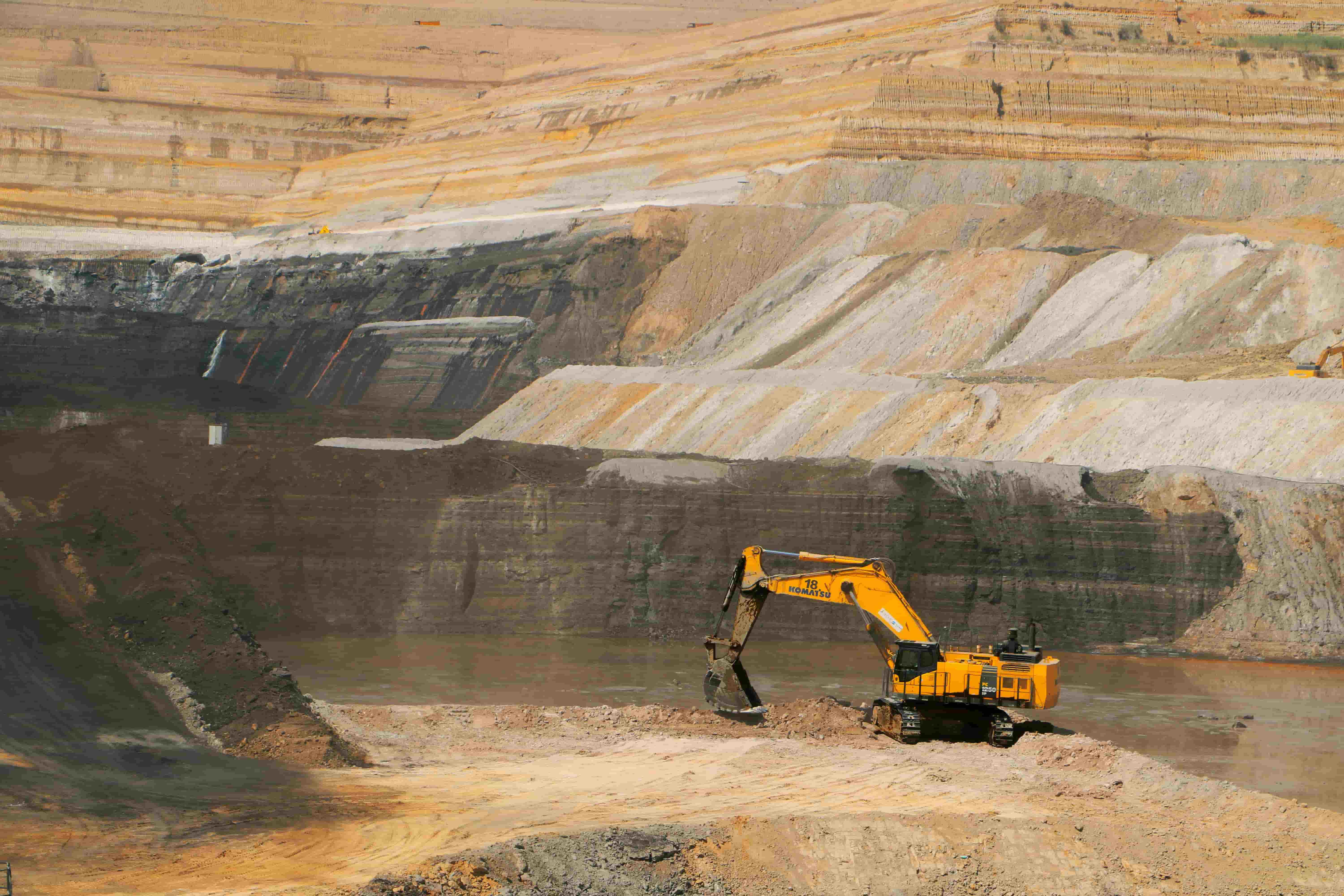
Aerial view of mining operations
03 MINING

Mining

Measure stockpiles, monitor sites and understand changing terrain.

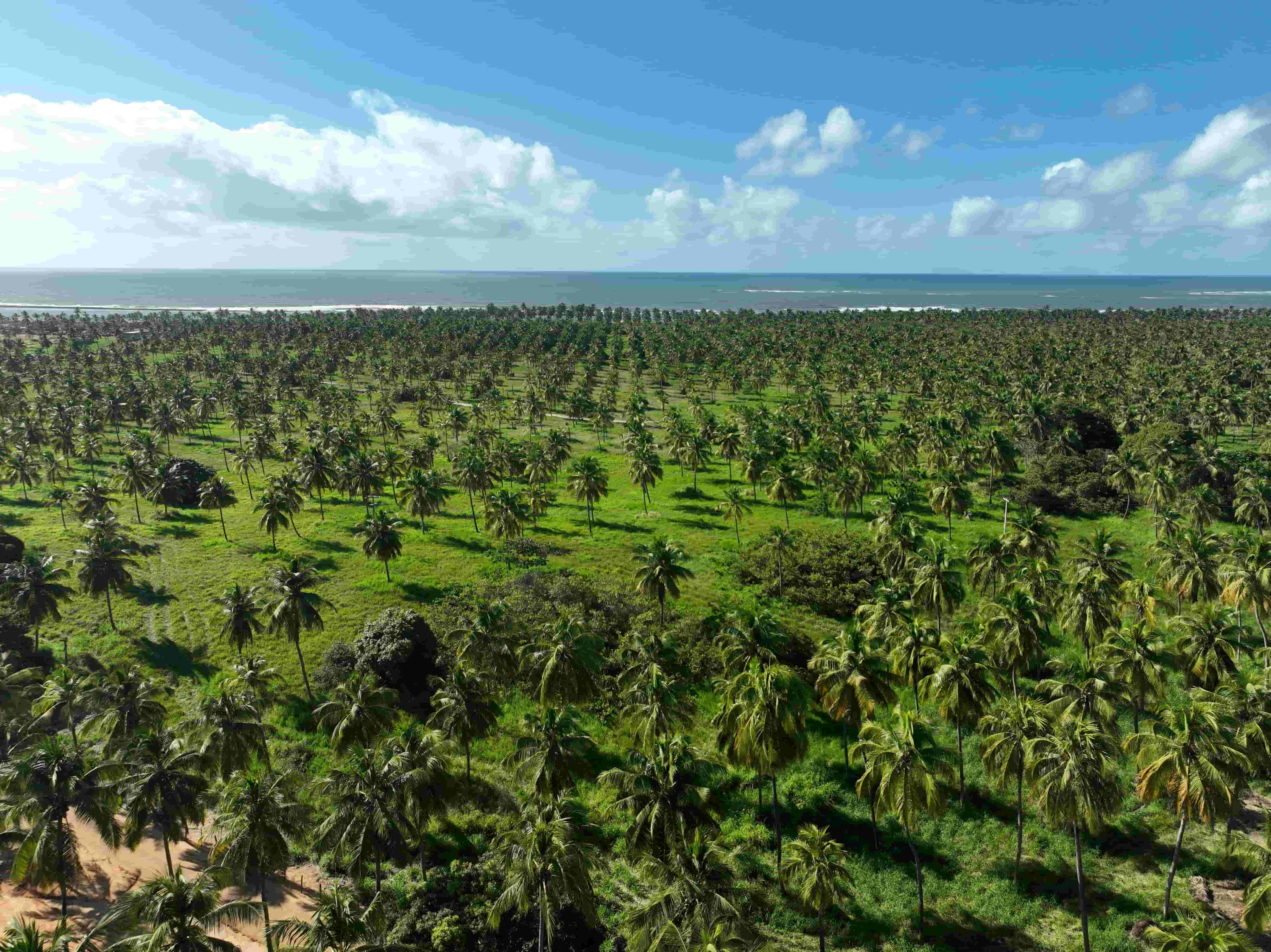
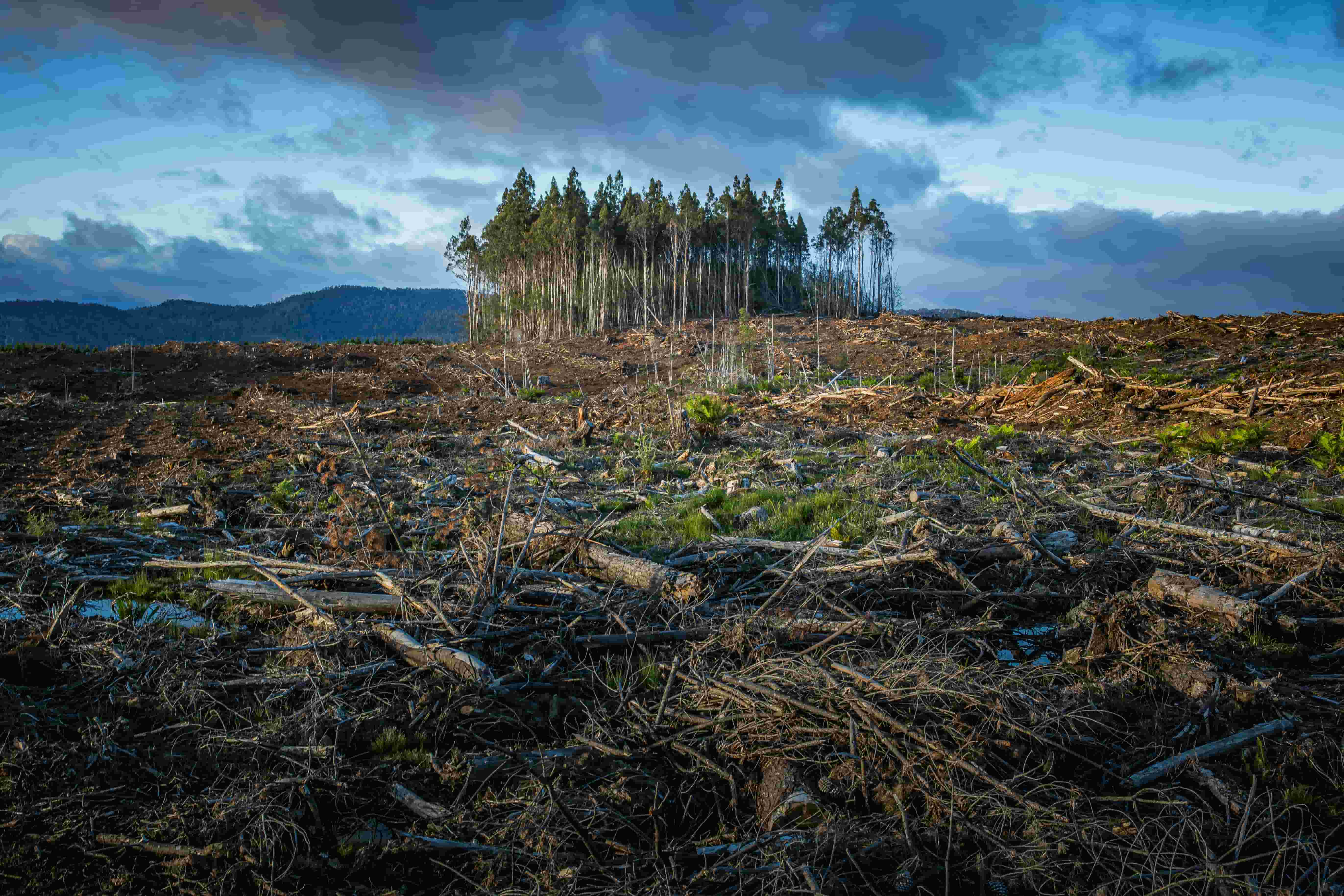
Aerial view of forest and natural landscape
04 CLIMATE

Climate

Turn aerial observations into environmental measurements and intelligence.

Aerial view of residential properties
05 INSURANCE

Insurance

Understand properties, assets and physical risks using spatial intelligence.

Aerial view of a city
06 GOVERNMENT

Government & Planning

Build better spatial datasets for planning, monitoring and decision-making.

Start with your imagery.
Scale with your needs.

Simple pricing for teams working with aerial imagery, geospatial data and AI-powered analysis.

STARTER

For individuals exploring aerial intelligence.

$0
Free to get started
  • Limited imagery processing
  • AI object detection
  • Interactive map
  • Basic exports
Get started
ENTERPRISE

For organizations operating at scale.

Custom
Built around your workflow
  • Large-scale processing
  • Custom AI models
  • Dedicated infrastructure
  • API & integrations
  • Team collaboration
  • Priority support
Talk to us

Have imagery?
Let's turn it into intelligence.

Whether you're exploring AerialBoss, working with large-scale aerial data or looking for a custom geospatial solution, we'd like to hear from you.

RESPONSE Usually within 1 business day

Strengthen your decisions from above

Upload your imagery. Connect your data. Let AerialBoss turn it into insight decisions.

Get started with AerialBoss →